


Lagatar24 Desk
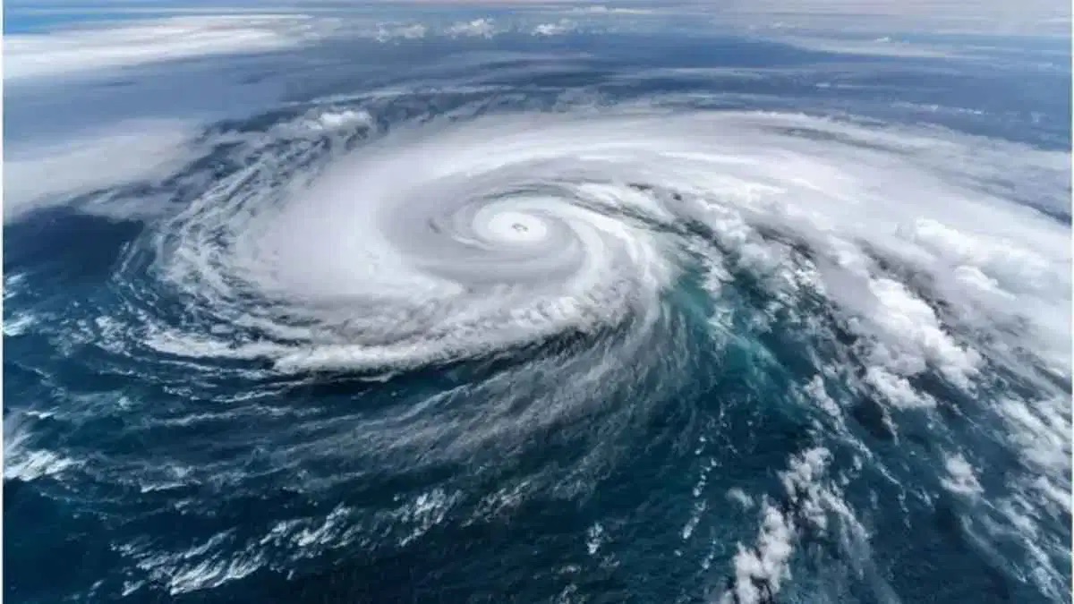
New Delhi: The threat from Cyclone Nolo, active in the Pacific Ocean, is steadily growing, with forecasts warning it could take a fierce form within the next 24 hours, though weather agencies say it currently poses no direct danger to any densely populated mainland or island.
Storm Sits Near Key Weather Boundary
According to the weather department, Nolo has reached roughly the 180-degree longitude line, regarded as a major weather boundary between the central and western Pacific. On Sunday, October 4, the cyclone was about 655 km west-southwest of Maro Reef, moving westward at around 30 kmph.
Wind Speeds Forecast to Climb Sharply
Maximum wind speeds are expected to touch 205 kmph on October 5, rising to about 215 kmph by evening. Over the next 24 hours, there is a risk of the storm’s speed reaching 241 kmph.
Risk to Atolls and Remote Islands
Weather agencies say the high and dangerous ocean waves generated by the storm could affect low-lying atolls and remote islands. An atoll is a ring or horseshoe-shaped coral reef, or chain of islands, that encircles a lagoon. Japan’s meteorological agency and the Joint Typhoon Warning Center are keeping a close watch on Nolo’s movements.